This little unnamed summit is quite a walk in but it isnt as bad as it appears on the map. The first climb to the trig at 899 m is the steepest part – the rest is a healthy but not painful gradient. The track is in good shape with plenty of views along the way.
-

Sign board at the start of the track -

Along the track – before SH 1359
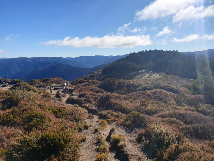
This summit is located on the southern end of Kiwi Saddle where 3 tracks meet. There is a clearing at the top with plenty of room to set up and trees to hang an antenna from. The walk is in one place very exposed to a large drop into ultimately the Ngaruroro river. The day I did this it was quite windy so caution was needed.
-

Kaweka J -

-

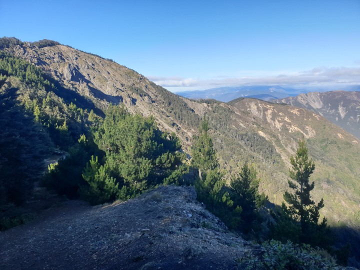
ZL1/HB-014 is the right hand bump in the back (from Kuri) -

Heading up to Kuripapango -

Track junction at the summit -

Looking out across the forestry
From the tops to the West Ngauruhoe and Ruapehu (ZL1/MW-002 and 001 respectively) were clearly visibly between the clouds. To the East Cape Kidnappers marked where Hastings and Napier could be found.
-

ZL1/HB-014 -
View from summit back to SH 1359 -
View north from summit -

Ruapehu from ZL1/HB-014 (view West)
The bands weren’t in fantastic shape for radio but they did improve as time went on. One summit to summit was made to Waiheke Island (ZL1/AK-020). I was a few days short of the winter bonus but this one is worth doing and I may even do this one again one day. 23 contacts in all.
-

Trig at 899 m -

Down into Kuripapango / Ngaruroro river -

-

View South from summit -

The shack
Details
Summit – ZL1/HB-014
Height – 1381 mASL (height gain apx 660 m)
Access – Lakes Road – Kaweka Forest (off Napier Taihape Road)
Coverage – Mobile coverage OK on Telecom. Repeater coverage OK into 670 and 725.
Summit Marker – Track junction.
Land Access Permission – DoC land – permission not required.
NB: Photos are not for use elsewhere, without prior approval.